Formerly managed by the private sector, Agalega was taken over by Government in 1976 and was administered by the Agalega Corporation, established under the Agalega Corporation Act. In 1982, the Agalega Corporation Act was repealed and replaced by the Outer Islands Development Corporation (OIDC) Act.
By virtue of this OIDC Act, Agalega is administered by the Outer Islands Development Corporation (OIDC) which falls under the aegis of the Prime Minister’s Office (Rodrigues and Outer Islands Division) and its head office is located in Mauritius. In Agalega, the offices are located at La Grande Case in Village Vingt Cinq.
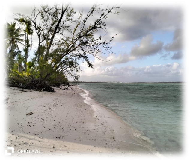
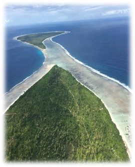
Situated at around 1,000 km north of Mauritius, Agalega consists of two islands namely, the North Island and the South Island which cover a total area of 2,600 hectares (6,400 acres). The North Island is 12.5 km long and 1.5 km wide while the South Island, which is more pristine and environmentally preserved, is 7 km long and 4.5 km wide. Both islands are separated by a stretch of sand bank of about 1.7 km wide called ‘La Passe’.
The two islands are primarily composed of coral limestone and sand and they are surrounded by sandy beaches and fringing coral reefs. Relatively flat and low lying, the North and South Islands are between 1 m to 4 m above mean sea level.
Due to its proximity to the Equator, Agalega enjoys a hot and humid climate. Its tropical climate is conducive to the growth of coconut trees on both islands, which are also covered with filao trees, badamiers, Veloutier shrubs and ferns amongst others. There are also several marshy/wetland areas on the islands.
There are two villages in the North Island namely Vingt Cinq and La Fourche, while Ste Rita is the only village in the South Island. Village Vingt Cinq was established as the centre of administration for both the North and South Islands in 1987. It is assumed that Village Vingt Cinq was named after the number of lashes slaves received as punishment for misconduct during the period when Code Noir was applicable.
Existing Amenities
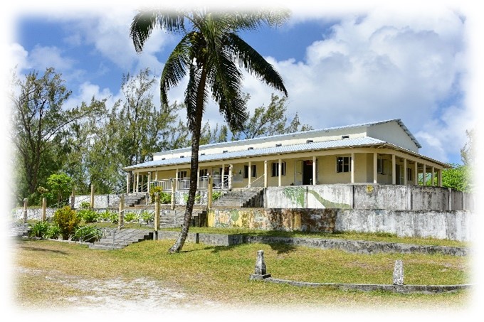
Most of the buildings and infrastructure are in concrete except for the roofs and are located in the main village of Vingt Cinq.
The existing amenities are:
- schools/college, kindergartens
- health centres, shops, bakeries
- police stations
- places of worship
- a meteorological station
- Fisheries Post,
- Post Office-cum-Bank,
- Fire Post,
- Refugee centre/multi-purpose hall, and
- Coconut oil mill.
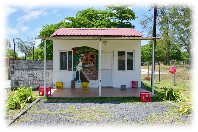
Bakery in Village Vingt Cinq
Refugee Centre in Village Vingt Cinq
Population:
The island has a population of approximately 370 people and most of the inhabitants live in Village Vingt Cinq.
The majority of the working population earn their livelihood by being employed with the OIDC and since July 2013, these employees (some 167) are covered by the Pay Research Bureau.